Greenway Construction FAQs
Burlington Greenway Project FAQs
This list will grow and be updated to address questions that arise.
What if I have landscaping in the Right of Way?
- Well…we can’t make any promises about landscaping, irrigation or any structures that have encroached on the Right-of-Way. In many cases, the limits of construction disturbance fall within the edge of the Right-of-Way, but if you want to be safe, we recommend moving everything completely onto your property.
- Here is the Resident Engineer’s aerial analysis: BBP Phase 2 ROW Plans (34 pages, 21.9MB)
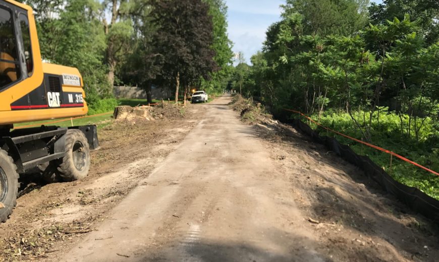
What is the extent of the construction zones and will trees need to be removed?
- The complete construction document can be viewed here: 20170331 BP 2 100% Plans (165 pages, 28.8MB)
- As shown in the plans, some trees within the construction zone will need to be removed to allow for machinery to widen the path the new wider 2’-11’-2 standard and allow for proper edge gradation and improved stormwater controls.
- Page 56 begins new tree planting configurations
- The plans also include improved wayfinding and street crossing signage
- In addition to what will be planted as part of the construction project, we will plan for further tree plantings to compliment the greenway and surrounding natural areas
What are you doing to address safety concerns about the detour route?
- Local Motion played a collaborative role in the development of our detour plans, and we have ongoing collaboration with our Department of Public Works to discuss issues related to the detour. Outcomes: our sequencing and detour route were adjusted based on feedback from Local Motion, additionally, intersection signalization adjustments will be implemented as a product of strong communication amongst this group and input from the public.
- Please remember to use See. Click. Fix. to report issues to the city that need attention, such as potholes, graffiti, illegal parking and more.
What was the process for Public Comment on this phase?
- This phase of the of the project has been the on the agenda at all Ward meetings, Parks & Rec Commission meetings, as well as being presented at City Council and BOF meetings.
- There were extensive Public Comment sessions in determining the conceptual design of the entirety of the Bike Path rehabilitation in 2014-15. Check http://www.btvbikepath.com for past documentation.
- This phase is based on the conceptual design and standards developed in 2014-15. Because this phase is limited in scope to replace the existing path within the same footprint there are no additional conceptual design plans to share with the public.
- Future (2018) “Pause Place” concepts for Leddy Park, Starr Farm and North Shore will be shared for comment. The concepts are available here. Public meetings will be announced for those at a later date.
- The city voters approved the recent Sustainable Infrastructure Bond measure that included funding for this project.
Are there online docs showing the plans for the 2018-19 upgrade from Perkins Pier to Oakledge Park? I’m most interested to learn what the design plans are for the stretch from the Pine Street Barge Canal bridge to the new windsurfing site (the narrow stretch right on the water’s edge). Thanks!
There are not any yet. The Planning team will have design plans worked on this FY18 and construction is planned for FY19. If you have any specific concerns or ideas, let us know!